
What is the weather like in different places of the World?Look at the map of the World.
(e.g. North, North West, South, East, West)
The main tool used by geographers. Maps show features in a plan view as birds see it from above.
An area of land which is controlled by its own government, e.g. Wales.
The city that is the official seat of government in the country, e.g. Cardiff
Very, very large areas of land. There are 7 continents in the world, e.g. Europe.
A map that describes the weather today or forecasts the weather in different places and countries.
Very, very large areas of water, e.g. Pacific Ocean. Oceans cover over 71% of the Earth's surface!
An imaginary line around the middle of the Earth. The distance around the equator is about 24,900 miles (40,000 kilometres)!

The weather changes in different parts of the World.
Where there are similar weather patterns this is known as a climate.
By climate we mean a country's rain and sunshine, winds, storms and everything else that makes up the weather.
What is the weather like in different climates? Click on the map to find out.
Then, choose 3 different places and describe the weather there.

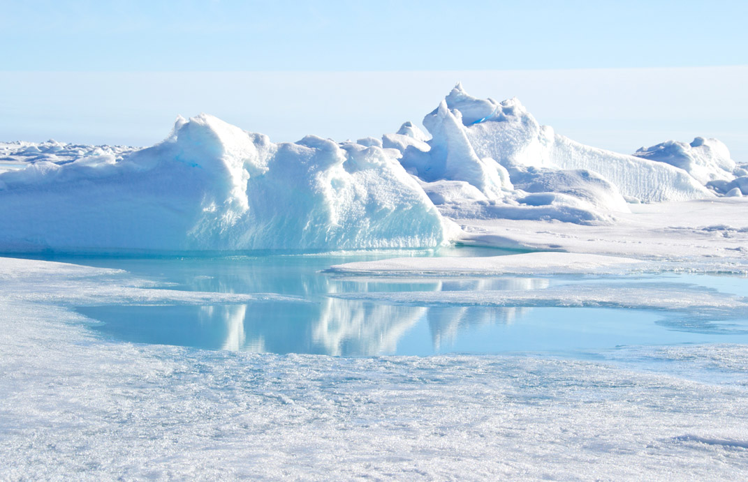
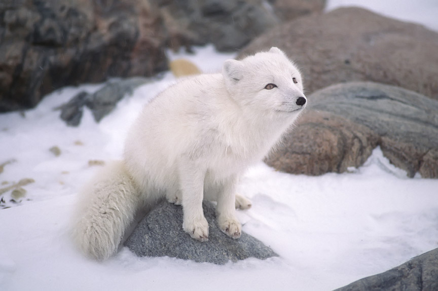
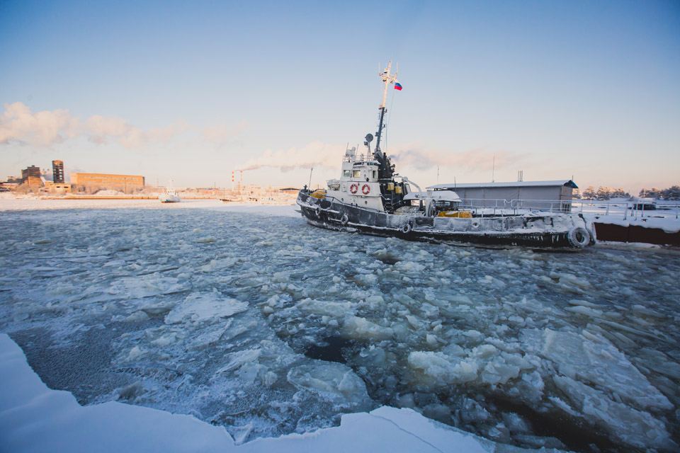
some of the coldest temperatures in the world are found here. Sometimes, it gets as cold as -50°C!
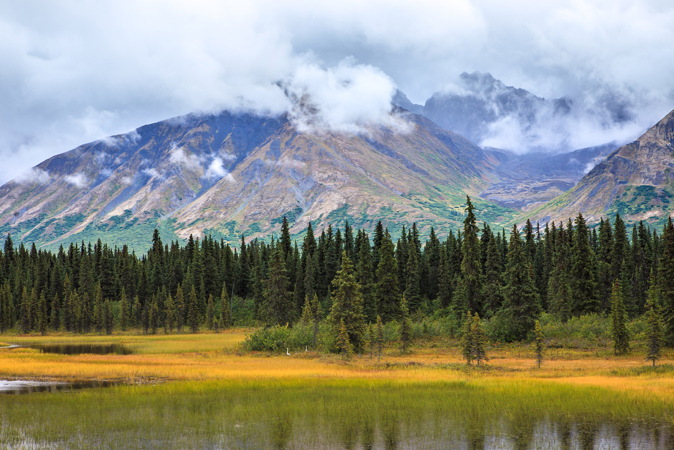
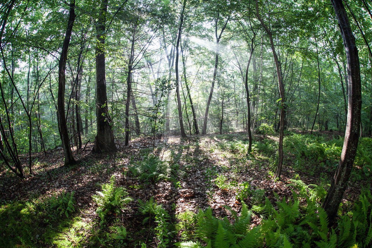
the temperatures in these regions (between the tropics and the polar regions) are moderate; not too cold or too hot.
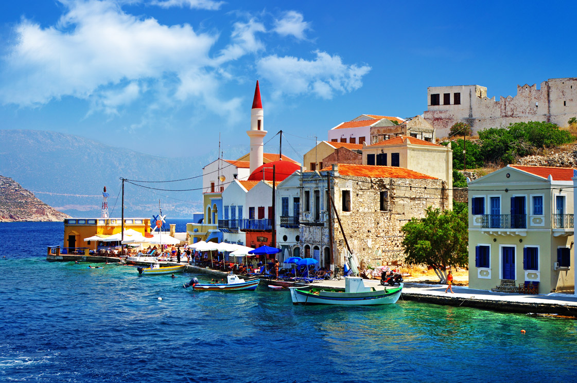
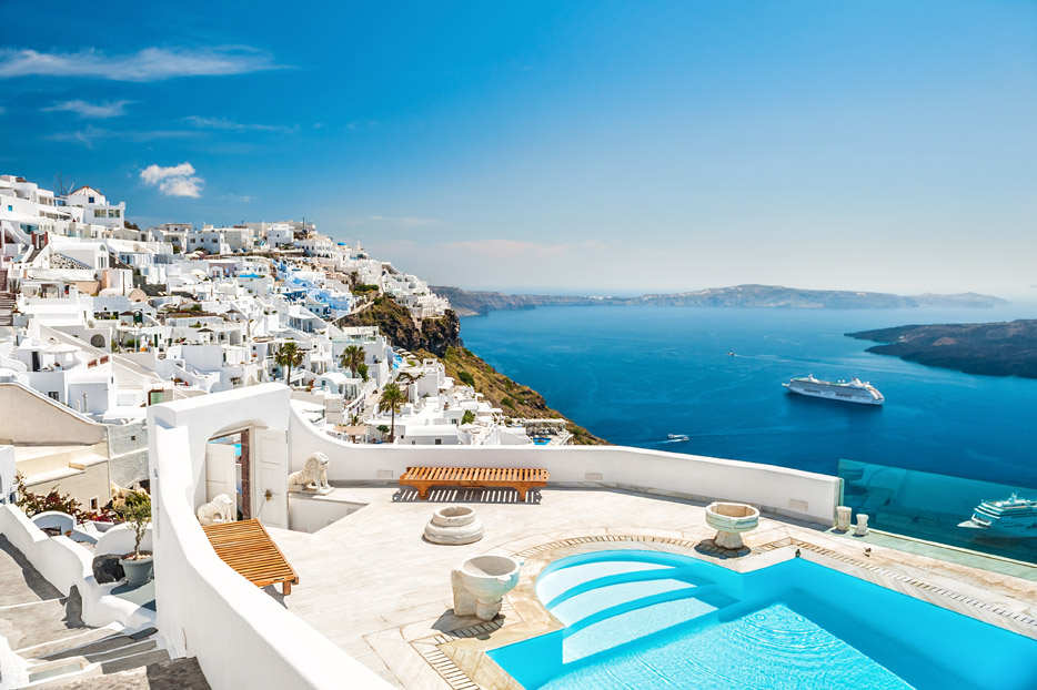
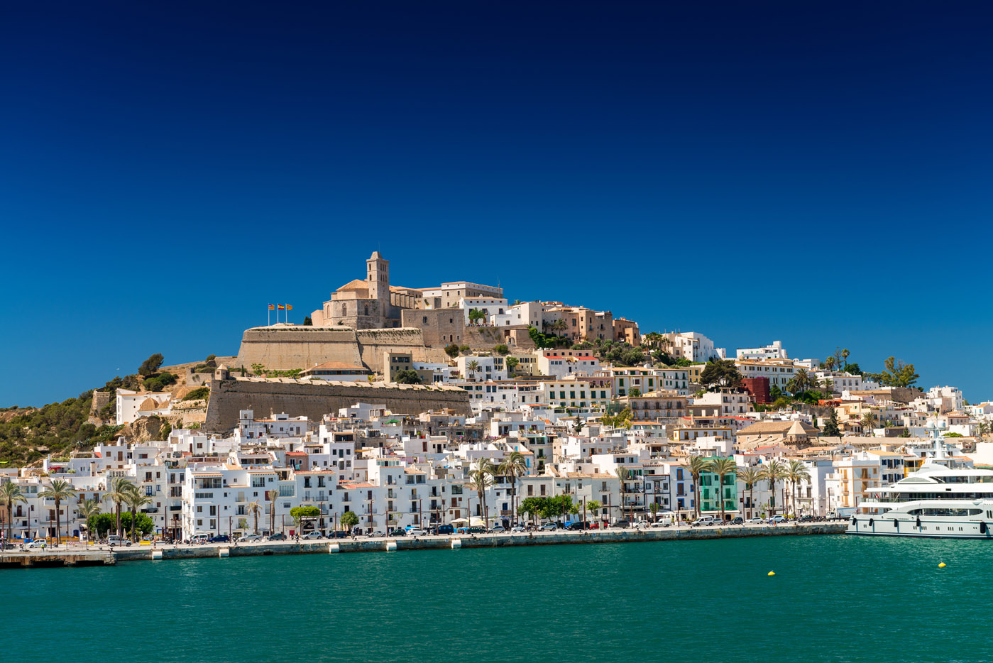
a climate having sunny, hot, dry summers and rainy winters, e.g. countries around the Mediterranean Sea, parts of Chile, California.
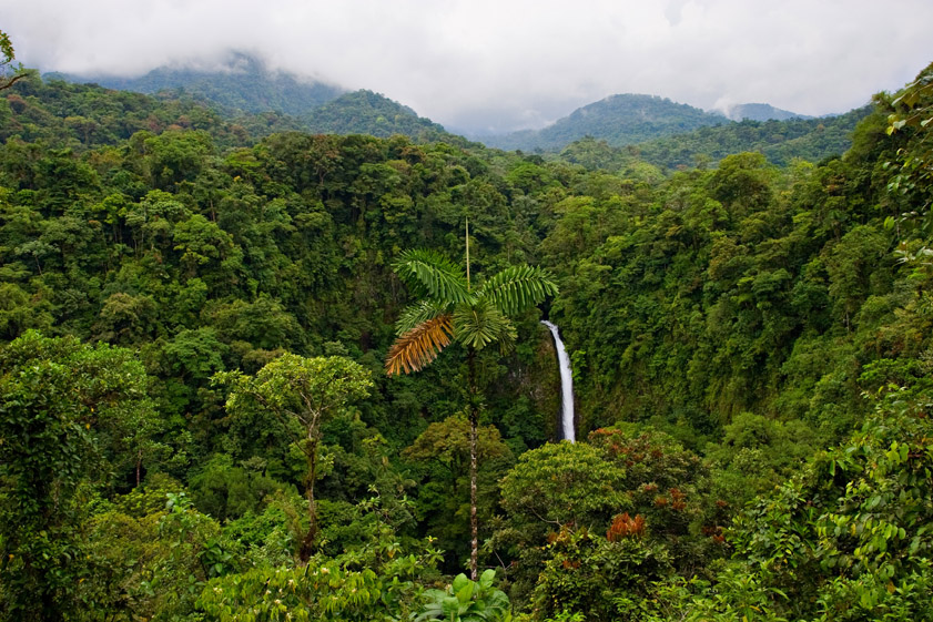
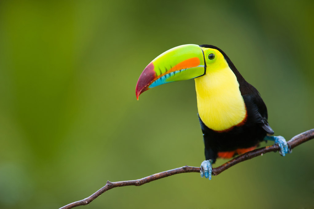
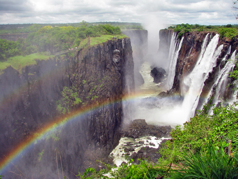
tropical climates are found in areas that lie close to the equator. There are 3 groups: tropical wet regions (rainforests), tropical wet and dry regions and tropical monsoon regions. This last one experiences bouts of incredibly wet weather!
some of the hottest places on Earth are found here, and few people live in this climate.
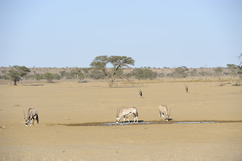
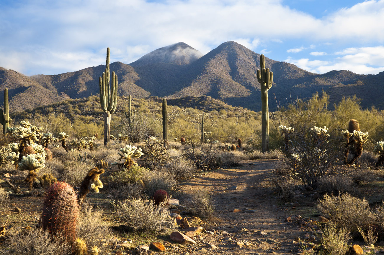
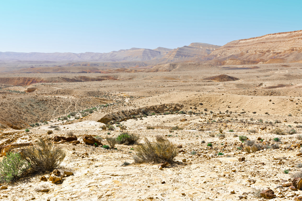
Image available under the GNU Public Licence 1.2