
What can I see in the local area?How much do you know about reading maps?
(e.g. forward, back, left, right)
(e.g. North, North West, South, East, West)
(e.g. picture taken from the sky 'google maps')
The appearance of an object or place from above.
The main tool used by geographers. Maps show features in a plan view as birds see it from above.
A symbol is a picture on the map that represents something in the real world.
A small picture of each of the symbols used on the map, along with a written description of the meaning of each of these symbols.
The scale shows how much bigger the real world is than the map. If the scale is 1: 50,000 it means that the map is 50,000 times smaller than the real world. For example, every 1cm on the map represents 50,000cm in the real world.
Coordinates are a set of values that show an exact position. On maps it is common to have a pair of numbers to show where a point is: the first number shows the distance along and the second number shows the distance up or down. Example: the point (12, 5) is 12 units along, and 5 units up.
Ordnance Survey maps use common map symbols, e.g. P for car park.

This is an Ordnance Survey (OS) map of the local area. Do you know what each of the symbols mean? Drag the symbols below the map to the right label in the table
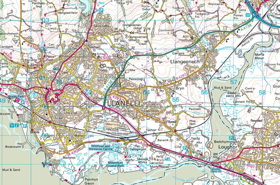 Contains OS data © Crown copyright [and database right] (2024)


| Feature | Symbol |
|---|---|
| parking | |
| information centre | |
| place of worship | |
| bus or coach station | |
| public convenience | |
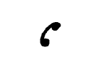
| telephone | |
| camp site | |
| museum | |
| nature reserve | |
| castle / fort | |
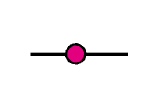
| building of historical interest | |
| National Trust | |
| Cadw | |
| viewpoint | |
| picnic site | |
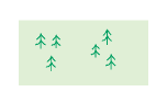
| coniferous trees | |
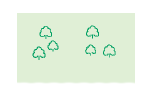
| non-coniferous trees | |
| motorway | |
| footpath | |
| train station | |
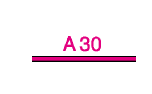
| main road |