
What is happening in Botswana today?
Is Botswana changing?
Let's find out!
(e.g. North, North West, South, East, West)
The main tool used by geographers. Maps show features in a plan view as birds see it from above.
An area of land which is controlled by its own government, e.g. Wales.
The city that is the official seat of government in the country, e.g. Cardiff
Very, very large areas of land. There are 7 continents in the world, e.g. Europe.
A flag that represents and symbolizes a country.
Part of the Earth's surface that can be viewed at one time from one place.
An object or structure on land that is easy to see and recognise.
The money that a country uses, e.g. euro.
Very, very large areas of water, e.g. Pacific Ocean. Oceans cover over 71% of the Earth's surface!
An imaginary line around the middle of the Earth. The distance around the equator is about 24,900 miles (40,000 kilometres)!
Is Botswana changing?
Let's find out!

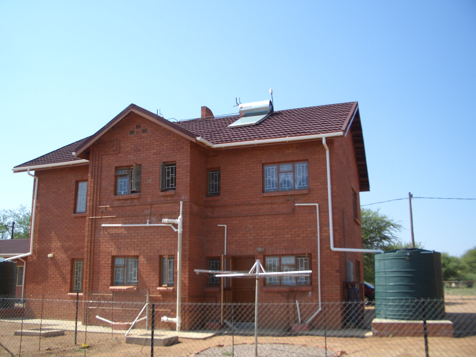
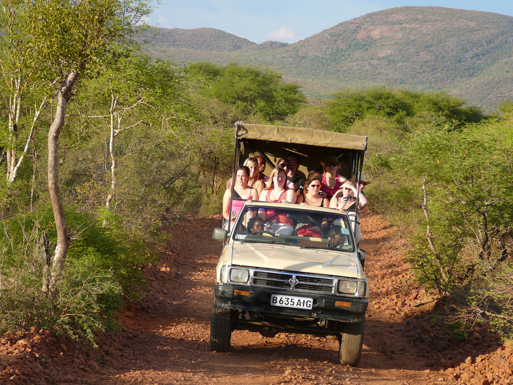
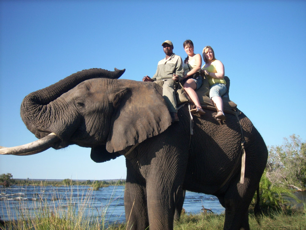
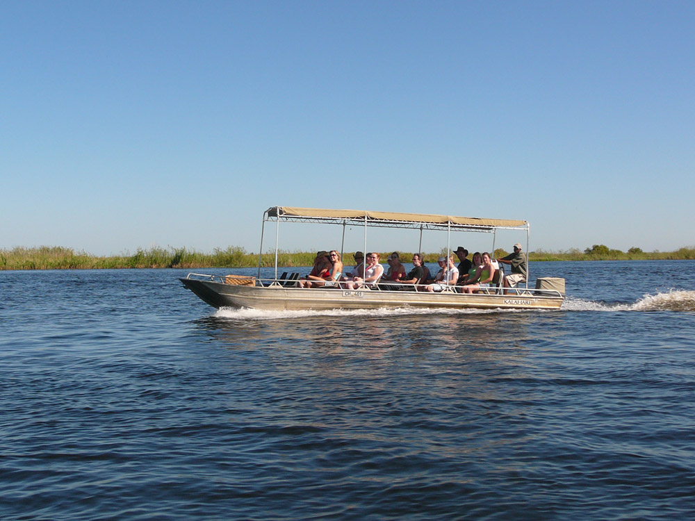
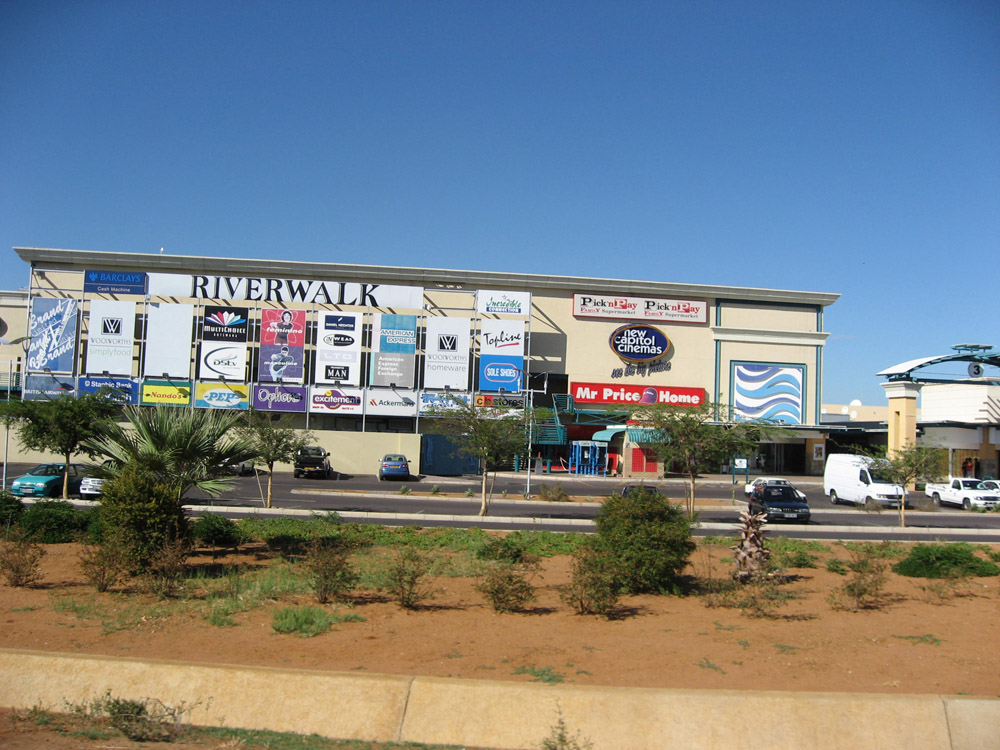
What do the photos in the gallery below tell you about Botswana?
Are these changes for the best? Why?
Share your ideas with your group.
Elephants should be hunted again!
Read the following viewpoints and drag them to the correct boxes.
Choose a country and create a short film or presentation showing what life is like there. Don't forget to find out what is happening in the news in your country!