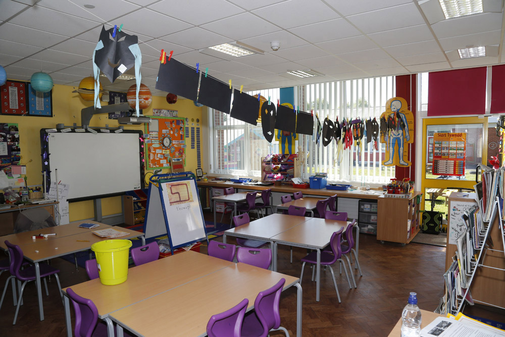
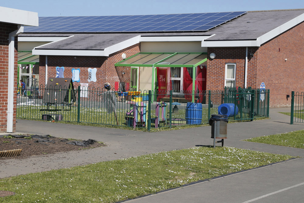
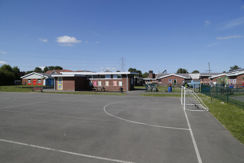
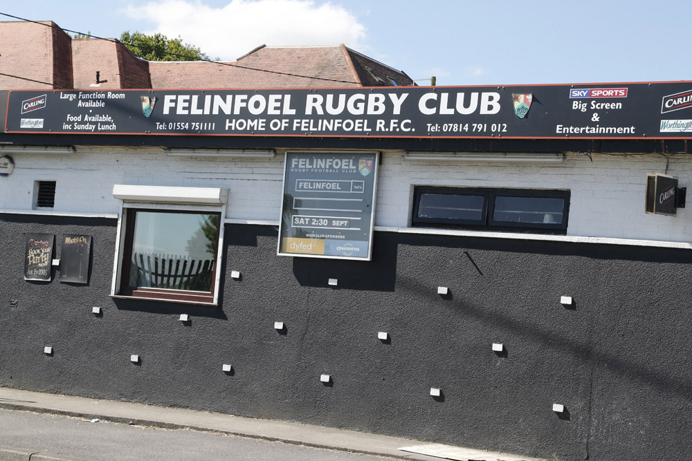
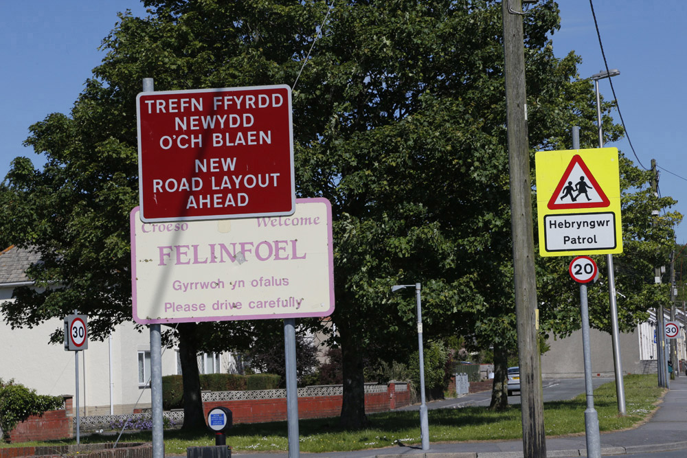
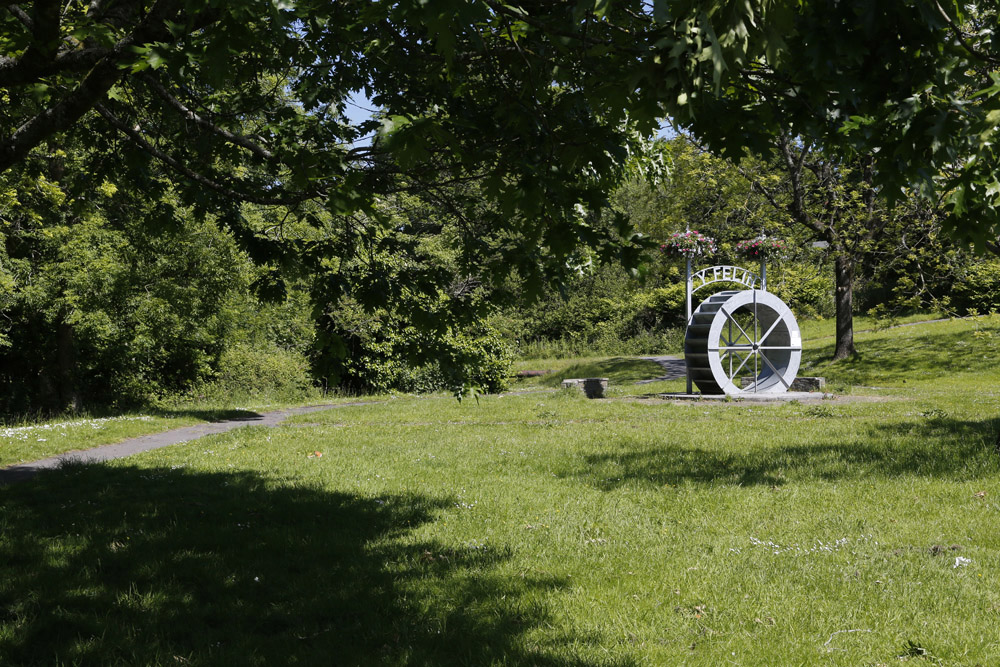
What images should we include in our useful guide and why?Look at the photographs below. Drag the photos to the diamond rank template to help you decide which to use.
(e.g. hill, mountain, river)
(e.g. building, roads)
(e.g. forward, back, left, right)
(e.g. North, North West, South, East, West)
(e.g. smell, see, hear)
(e.g. what do you think about...?)
(e.g. picture taken from the sky 'google maps')
The area around your school and where you live.
A detailed critical inspection, usually a set of questions that you ask a large number of people in order to find out about their opinions or behaviour.
The appearance of an object or place from above.
The main tool used by geographers. Maps show features in a plan view as birds see it from above.
A symbol is a picture on the map that represents something in the real world.
A small picture of each of the symbols used on the map, along with a written description of the meaning of each of these symbols.
Services are things such as shops, hospitals, libraries, leisure centres and swimming pools.

Don't forget to place your most important photograph at the top of the diamond!